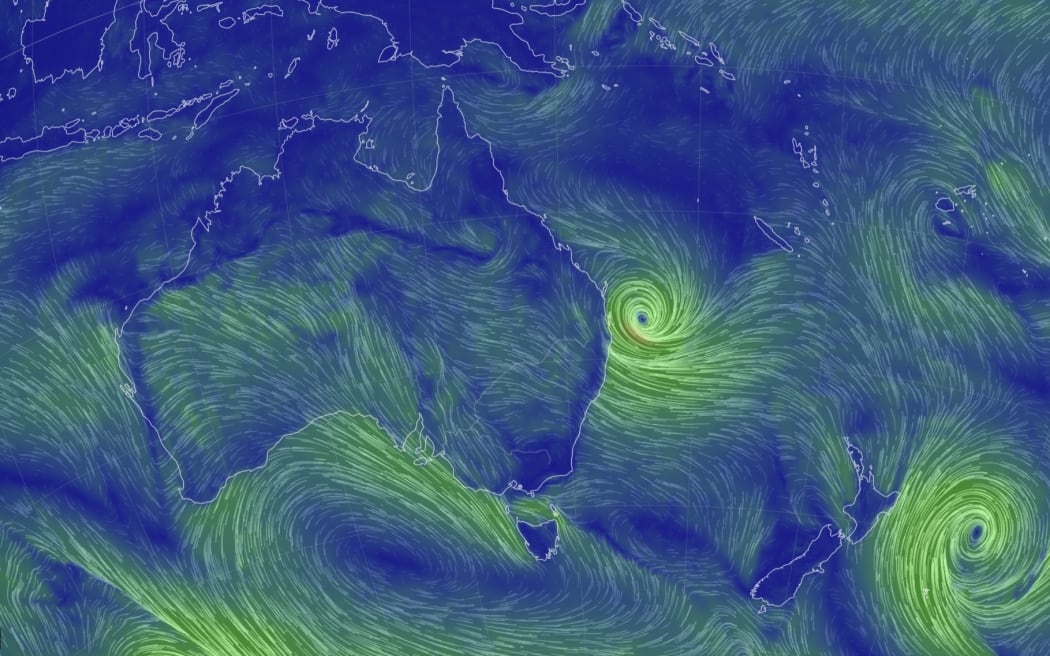
Cyclone Alfred bears down on the Queensland coast. Photo: Earth Nullschool
After stalling off the coast overnight, Cyclone Alfred is now expected to make landfall later than expected, into early Saturday.
Cyclones can be unpredictable, but the prolonged arrival has some important implications for the potential impact when it does cross the coast.
On the one hand, affected communities have a bit more time to prepare, but on the other, many will be exposed to damaging winds, huge swell and heavy rainfall for longer.
That kind of severe weather has already started to affect parts of the Gold Coast, Sunshine Coast and Brisbane's bayside suburbs.
So how could this change Alfred's impact?
Where is Cyclone Alfred?
Cyclone Alfred is currently sitting about 245km off shore from Brisbane or 225km east-north-east of the Gold Coast. It's slowed down since yesterday and is moving west at 10kph.
The Bureau of Meteorology's Sarah Scully explained that Cyclone Alfred stalled overnight, which means it's now expected to make landfall later than anticipated.
"It's just one of those things - tropical cyclones are very difficult to track perfectly," she told ABC News. "We've still got it crossing somewhere between Brisbane and the Sunshine Coast, however the timing is a little bit harder to forecast."
When is Cyclone Alfred expected to hit?
The BOM's latest advice suggests the cyclone could now make landfall early Saturday morning.
"Cyclone Alfred briefly doubled back on its path," BOM's Matthew Collopy said in the bureau's 11am update. "This erratic movement has resulted in a delay to the forecast crossing,"
Cyclone Alfred is now expected to approach the outer islands very late on Friday and cross the coast in the early hours of Saturday, most likely between Noosa and Coolangatta.
In the meantime, for coastal communities that are already seeing large swells and high winds, it means a longer period of time exposed to those extremes.
Could the cyclone escalate to a category three?
Cyclones feed off warm waters, so the longer a system sits over the water, the more potential it has to gain energy, but it doesn't seem like that's going to be the case with Alfred.
This system was expected to be a category two at landfall - that is still the case.
"There was some concern yesterday that may further develop into a category three,"Collopy said. "The chances of that have reduced."
A category two cyclone means destructive winds strong enough to cause minor damage to houses, significant damage to signs, trees and caravans, and heavy crop damage.
When is high tide?
If a cyclone makes landfall at the same time as a high tide, when the sea is already at its highest point, that's bad news.
Cyclones create storm surges from the ocean, which "occur when strong onshore winds from cyclones combine with their low pressure to elevate sea levels and drive water on to land", according to the CSIRO.
When combined with a high tide, those surges worsen the flooding and erosion along the coastline.
Assuming Cyclone Alfred makes landfall on Saturday morning, the highest tides around this time are around 3.30am on the Gold Coast and Sunshine Coast, and a bit later in Brisbane.
Sunshine Coast (Noosa Head)
Friday afternoon - high tide 2.31pm, low tide 8.20pm
Saturday morning - high tide 3.42am, low tide 10.49am
Brisbane Bar
Friday afternoon - high tide 3.40pm, low tide 9.36pm
Saturday morning - high tide 4.45am, low tide 11.51am
Gold Coast (Snapper Rocks)
Friday afternoon - high tide 3.21pm, low tide 9.01pm
Saturday morning - high tide 3.48am, low tide 10.53am
Storm surges are hard to predict, as they're "very sensitive to the characteristics of the cyclone", the BOM explains.
"Tropical Cyclone Alfred continues to produce the risk of a significant storm surge and, again, that is most likely around the southern side of the system," Collopy said.
"This means, as the system crosses the coast, we may see sea levels of one metre above the normal highest astronomical tides. If the system crosses at exactly high tide, there is the risk of seeing storm surges up to 1.5 metres, particularly around the Redlands Bay area and the Gold Coast."
Alfred is already whipping up record waves along parts of the Queensland and New South Wales coastline, but storm surges and large waves aren't the same as a tsunami, even if the impacts can be similar.
What can we expect when Cyclone Alfred does cross the coast?
Once a cyclone makes landfall, it loses that crucial ingredient of warm waters, so it will rapidly deteriorate, but that doesn't mean the severe weather will be over.
The threat of heavy rain from decaying cyclones can last for days if a system remains slow moving.
According to the BOM, areas in northern New South Wales received more than 200mm of rain in the 24 hours to 9am Thursday, and a lot of rainfall is forecast for south-east Queensland and northern New South Wales, particularly from Brisbane to the mid-north coast of New South Wales.
Cyclone Alfred is expected to produce up to 800mm of rainfall over the event, with daily totals of 200-400mm. This intense rainfall can bring on dangerous flash flooding and riverine flooding.
At the end of the day, cyclones are notoriously temperamental and that's why the BOM says it's important to stay informed about any changes.
"What we've seen overnight, in terms of the erratic movement of the system, reiterates the fact this is an evolving situation and the bureau will update our warning, particularly as it approaches the coast," Collopy said.
- ABC


